
Sources for Slidell Neighbors
No single official roll lists every person around a Slidell address. The Assessor GIS is the strongest first source because it defines the parcel set. Assessment records connect those parcels to an owner field, while Clerk maps and plats explain the legal shape of the block. The voter portal can check a specific address, subject to privacy limits. Local associations describe community geography, not all households.
| Source | What It Shows About a Block | Access |
|---|---|---|
| Assessor GIS | Parcel outlines, identifiers, and nearby polygons | Free online viewer; dynamic fields vary |
| Assessment roll | Owner, situs, mailing address, legal description | Online search or Slidell counter |
| Clerk map or plat | Lot lines, roads, servitudes, bayous, common tracts | Portal, Clerk counter, mail, or Archives |
| Voter Portal | A current registration result for a defined address | Free address form with protected fields |
| Community sources | Public contacts and local place names | Public pages; no complete member roster |
An owner is not always an occupant. A tax mailing address can differ from the physical, or situs, address, and a voter result reflects registration rather than present occupancy. Keep the record date and exact role beside each name. That small step prevents a property owner, association contact, or former registrant from being mislabeled as one of your current neighbors.
Start With a Slidell Parcel
The St. Tammany Assessor GIS replaces guesswork with a bounded map. Search the known address, activate Identify, and save the assessment number, legal description, map scale, date, and visible layer names. Then inspect only the north, east, south, and west polygons that touch the target. Roads, water, and common tracts should be marked and excluded from a household set.
Use Buffer only when the question calls for a measured radius. A buffer can sweep in many parcels that do not share the same block, so state its distance and do not turn the result into a public roster. The parish mapping initiative had identified more than 134,000 ownership parcels by April 2025, but that project count is not a promise that every current city feature is complete.
Process flow. Address to target parcel to adjacent parcel numbers to assessment records to Clerk plat, with the source date saved at each step.
Map the Slidell Neighbor Block
Move outward one parcel at a time. The goal is not to collect names first, but to prove which lots form the immediate block. A legal neighbor may sit across a road or bayou and still not be a practical next-door neighbor. The map and plat settle the physical and legal relationship before any owner field is interpreted.
- Locate the target in GIS and note its assessment number, parcel geometry, legal description, map date, and scale.
- Record each touching parcel by direction. Flag a road, water body, or common tract instead of calling it a household lot.
- Open the public assessment result and keep owner, situs, and mailing fields separate. Do not assume that matching addresses prove occupancy.
- Check the Clerk plat for subdivision, lot, square, servitude, road, and bayou lines. Request staff help if the online image is absent.
- For a full named-street chain, use the Slidell street directory instead of expanding the block without limit.
The Assessor's Slidell Towers office at 520 Old Spanish Trail provides in-person help when an address changed, a parcel split, or a search key fails. The Clerk's Slidell Annex is in the same building and can route map, plat, and recorded-document questions. Mail requests and the Covington headquarters remain fallback channels for material not available online.
Slidell Neighborhood Groups
No official citywide neighborhood-association directory was found. The verified groups below are a partial geography and contact inventory. They can explain subdivision words found in deeds or maps, direct a question about public meetings, or identify a local history lead. They should never be merged into one master resident list.
| Community source | Public geography or contact clue | Records limit |
|---|---|---|
| Lake Village | East side north of Gause; volunteer community | Do not copy a family directory |
| North Shore Beach HOA | Debbie Drive; community dates to 1954 | No public member roster verified |
| Old River Road HOA | Bay Ridge, Quail Ridge, Quail Valley, The Settlement | Names are search clues, not proof of membership |
| Olde Towne Main Street | Historic district contact and place context | Not a household directory |
| Lakeshore Villages CDD | Public special district created in 2024 | Meeting and infrastructure records only |
Public association pages are best used to normalize a place name before searching the parcel or plat. Contact a group for its own public materials, but do not ask it to disclose private member details.
Olde Towne Slidell Neighbors
Olde Towne requires a dated map. The historic plan places original blocks roughly from Bayou to 5th and from Fremaux to Cousin, while later boundary language uses streets including West Hall, Florida, St. Tammany, 10th, Cleveland, Mary, Jacob, and Front, plus Bayou Bonfouca. Those names are checkpoints, not a universal modern boundary.
A 1926 Sanborn fire-insurance sheet can show building footprints and cross streets. Current GIS answers a different question about the parcel now, and a recorded deed answers the legal transfer question. Comparing all three is stronger than forcing one source to speak for another era.
Review the St. Tammany Library archive collections before using the captured local-history gateway.
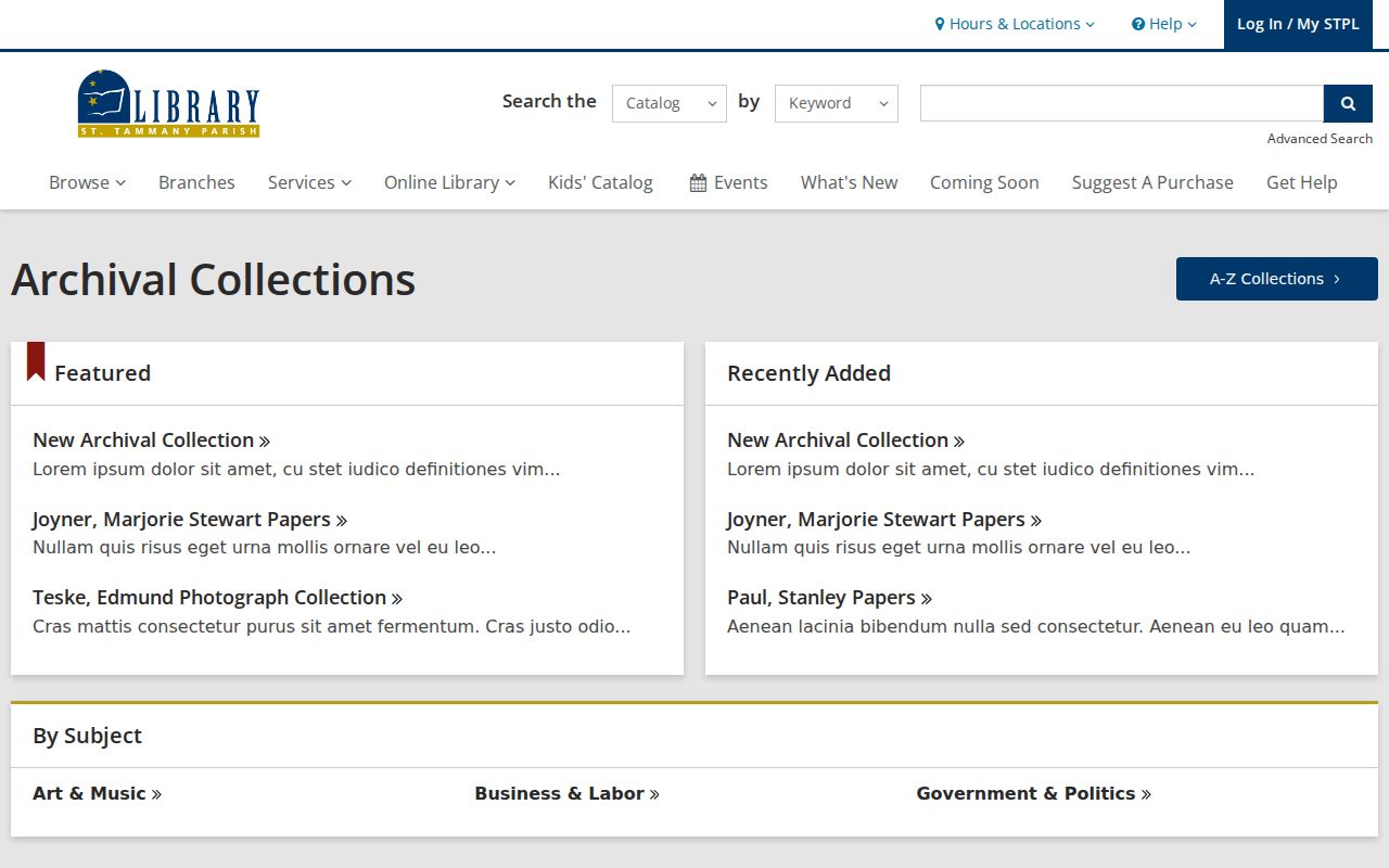
The archive page points toward maps, vertical files, and local sources that can explain a block without claiming who lives there today.
Trace Slidell Block History
Historical neighbor research often needs a person-to-place source after the parcel is understood. St. Tammany Parish Library offers newspaper, cemetery, yearbook, map, and genealogy help. Southeastern Louisiana University's Center for Regional Studies holds the St. Tammany Historical Society collection, property papers, photographs, and St. Tammany Farmer microfilm.
Consult the St. Tammany Historical Society collection description alongside the captured archive page.
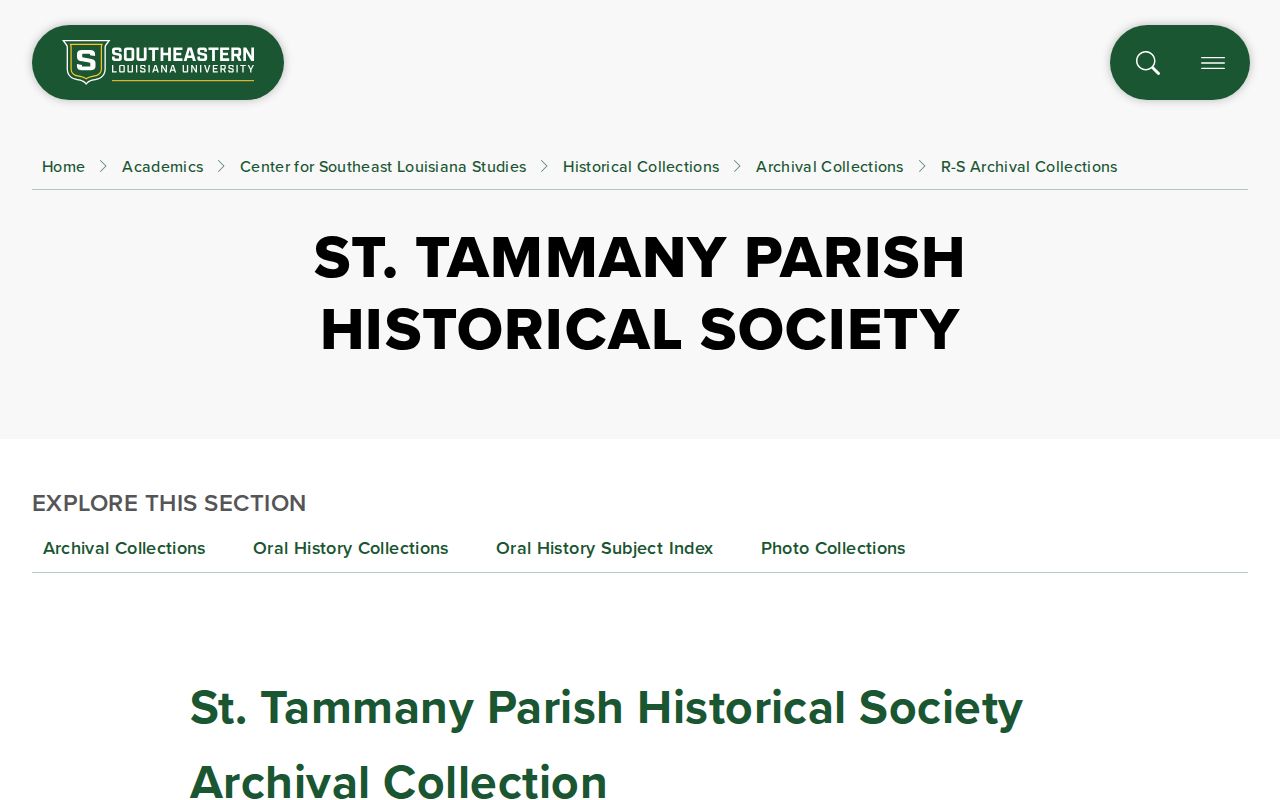
The collection description shows the range of regional evidence. Staff assistance is still needed to identify the right box, roll, or property file.
Read the library's obituary and cemetery research guidance before reviewing its captured instructions.
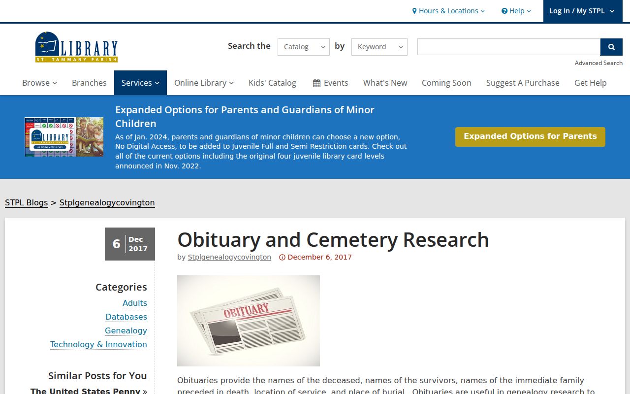
Obituaries can connect relatives and a place at a date, but they do not prove that every named person shared the same home.
Slidell Directory Catalog Gap
A public catalog query for “slidell directory” returned no visible result even though the region has strong deed, voter, newspaper, cemetery, and property sources. That is a useful warning. A zero-result catalog screen does not prove that no reverse directory, microform, vertical file, or staff-created aid exists.
Open the Slidell directory catalog query represented by the capture.
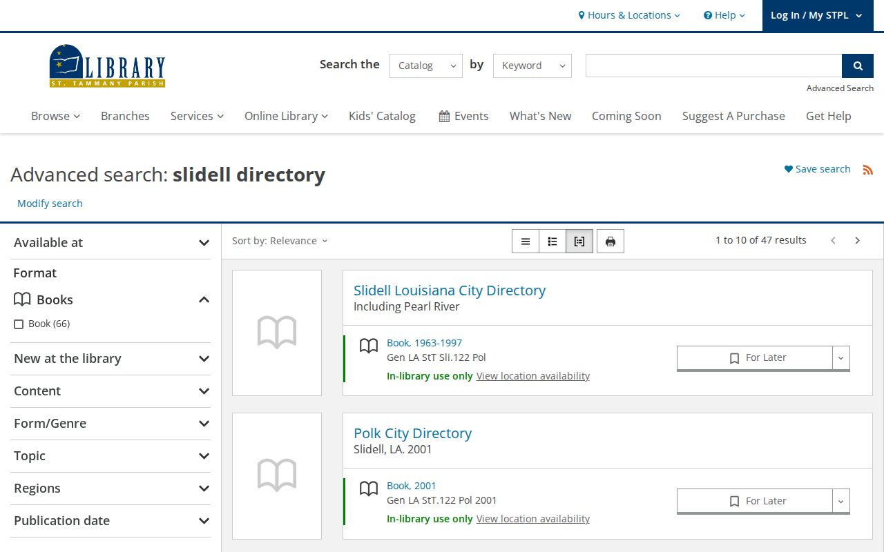
The captured result supports a direct reference-librarian question. Ask about reverse directories, local microfilm, maps, and vertical files, and request exact years rather than assuming coverage.
Official Slidell Neighbor Sources
Commercial neighbor tools may compile names quickly, but their update dates, source matches, and removal practices can be unclear. Official records are narrower and often slower. They show the field, custodian, roll year, or recorded instrument that supports a claim. For parcel and block questions, that narrower scope is a strength.
| Source type | Strength | Limit |
|---|---|---|
| Official parcel and plat records | Dated owner, boundary, and legal-description evidence | Owner does not prove occupant |
| Official voter address search | Defined current-registration check | Protected fields and no occupancy proof |
| Commercial category | May aggregate many sources | Unclear age, matching, and correction trail |
Verify each material fact with the office that keeps it. If a source conflicts with the GIS, plat, or assessment roll, record the mismatch and its dates rather than choosing the most convenient answer.
The Louisiana Voter Portal's address route asks for ZIP, address, apt or lot, and city. Its name route uses first name, last name, ZIP, and birth month and year. Use the smallest relevant query and do not reproduce the results as a block list. For an older registration question, contact the St. Tammany Registrar's Slidell Towers counter and request a defined date range with all statutory redactions.
Clerk records have several access paths as well. Current maps and recorded instruments may be reached through the online land gateway, the Slidell Annex, the Covington counter, or a focused mail request. Archives handles older series that are not online. State the parcel number, legal description, approximate date, and ward when known. A no-result online is a reason to try the right custodian, not proof that no map or transfer exists.
Privacy for Slidell Neighbors
Parcel records do not list every occupant, and public sources do not provide a complete household roll. Louisiana voter rules protect full birth dates, Social Security and driver-license numbers, email, and other sensitive fields. Sealed records and safety-sensitive information may also be withheld. A missing match can reflect protection, an old address, a name variation, or an update delay.
The Louisiana Address Confidentiality Program gives qualifying residents a substitute address for state and local services. The actual residence and telephone number are not public through the program. Never combine assessor, voter, deed, permit, or association data to reverse-engineer a protected address.
Lawful use. Research Slidell neighbors only for a lawful personal purpose. Never use block records to follow, intimidate, expose, or harm anyone.